Why Old Lanes Bend with the Land
Why old lanes bend with the land: read slopes, streams and uneven ground to understand a route’s shape, while keeping its history open to question.
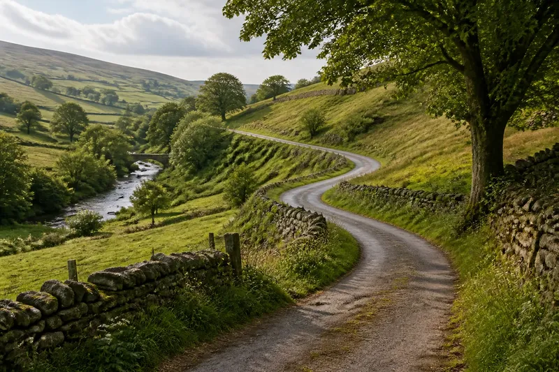
Old lanes bend with the land because a route across uneven ground often follows easier contours, skirts wet hollows and seeks a workable crossing. To understand why old lanes bend with the land, start by reading the slope and drainage around the road, then treat any historical explanation as a possibility rather than a conclusion.
What does the curve tell you?
A lane’s shape is evidence of choices made on the ground. A gradual curve may keep a road on a hillside at a steady height, avoiding a steep climb or descent. A sharper turn may mark a stream, a hollow, a bank or a place where the ground offered a practical way through.
Look at the land on both sides, not just the tarmac or track underfoot. A lane that seems to wander on a flat map may follow a gentle shelf on a hillside. From the road, that shelf can be hard to notice; from a field edge or a contour map, the reason for the bend may become clearer.
The curve alone cannot tell you who made the route, when it first existed or why a particular line was chosen. Lanes can be altered, diverted or widened over time. A modern road surface may cover an older track, while a route that looks ancient may have acquired its present shape through more recent changes.
Which kind of ground are you looking at?
If the lane crosses a hillside
A lane running across a slope often follows a contour: a line that stays at roughly the same height rather than heading straight uphill. This can make the gradient gentler. Notice whether the road holds a steady level, bends around a spur of higher ground, or turns towards a shallower crossing between slopes.
This reading fits when the bend makes sense in relation to the rise and fall of the land. It does not establish that avoiding a steep gradient was the original purpose; the route may also connect farms, fields or settlement entrances that are no longer obvious.
If the lane follows a stream or wet hollow
A road may curve alongside a stream because the valley floor is too damp or uneven for a direct line, or because the route follows firmer ground above it. Watch for a change in height between the lane and the water, and for places where a bridge or ford gives access across the channel.
This explanation fits when the road’s curve tracks the shape of the valley. A stream can also shift course, and drainage works can change the appearance of a hollow, so the present waterline is not necessarily the one that shaped an earlier route.
If the lane turns without an obvious slope
Small changes in ground level can matter even where the countryside looks broadly flat. A slight rise, a patch that holds water, a bank, or a shallow depression may be easier to cross at an angle than head-on. Check the edges of the road for changes in verge height and the way water appears to drain after rain.
This reading fits when a bend aligns with a subtle feature rather than a prominent hill. If no such feature is visible, keep the explanation open: property boundaries, access to a former site, or later road alteration may have influenced the line.
If the lane reaches a crossing
A bend near a bridge, ford or narrow pass may reflect the need to approach a crossing from suitable ground. A road could curve towards a shallow point, a stable bank or a place where the channel was easier to span. The approach may also have been reshaped after a bridge or road surface changed.
This explanation fits when the route’s line and the crossing make sense together. It is less persuasive if the crossing is recent or if the lane’s earlier course is uncertain, so avoid treating a visible bridge as proof that the whole approach is equally old.
How should you choose an explanation?
Use the explanation that best matches visible features, but keep alternatives in view. A useful reading does not need to settle the lane’s whole history. It should describe what the ground appears to offer and distinguish that observation from what remains unknown.
- Look uphill and downhill. Decide whether the lane holds a level, climbs directly or avoids a steeper face. A contour-following route is a reasonable explanation when the slope supports it.
- Trace nearby water. Note streams, damp hollows and drainage ditches. If the road bends with a valley, water and firm ground may help explain its course.
- Check the crossing. Look for a bridge, ford or narrow point. An approach that aligns with a practical crossing may account for a local turn.
- Notice banks and verges. A raised edge, cut into a slope or hollow can reveal changes in ground that are easy to miss from the road surface.
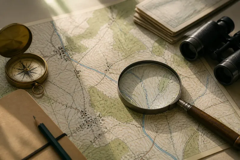
- Compare more than one view. A contour map, a current map and a view from a safe public place can show different aspects of the same route. Each can help test whether the land-based explanation fits.
- Separate observation from history. Write down what you can see first, then describe any explanation as tentative. Do not infer a date or builder from the curve alone.
Say you are looking at a lane that curves above a stream and then descends towards a small bridge. The starting point is the visible route and the ground around it, not an assumed story. You note that the lane stays above the wet valley floor before approaching the crossing; the expected result is a clear, grounded explanation of why that line may have been useful, without claiming to know who laid it out or when.
What should you avoid reading into the route?
A winding lane is not automatically older than a straight road. Nor does every bend prove that a road follows a medieval boundary, an ancient track or a vanished settlement. Those are possible histories, but the shape by itself cannot distinguish among them.
It is also easy to overvalue neat visual patterns. A road that appears to trace a contour on a small map may turn out to cross several slopes when viewed closely. Conversely, a gentle curve that looks arbitrary from the road can make sense on a larger view of the valley.
Do not leave a public route or cross a barrier to inspect a feature. A bend can be read from the path, a roadside verge where access is permitted, or a map. Detailed measurements and elaborate theories are not worth the effort if the ground offers no clear supporting clue; a careful “possibly” is more useful than a confident story without evidence.
What questions help explain a bending lane?
Why do lanes follow a contour?
A contour-following lane stays at a similar height as it crosses a slope, which can avoid a sharper climb or descent. The shape may fit that purpose, though the route can have had other uses too.
Can a stream explain a lane’s curve?
Yes, a lane may follow firmer ground above a wet valley or turn towards a suitable crossing. The present stream course may have changed, so it is best treated as a clue rather than a complete account.
Does a winding lane prove that it is old?
No. A winding shape can arise from terrain, access needs or later alterations, and a straight route can also be old. The road’s line alone does not establish its age.
What is the simplest way to read a lane?
Compare its turns with slopes, hollows, water and crossings, using a contour map if one is available. State what the land supports and leave the route’s full history unresolved unless separate evidence is available.
When is the terrain explanation enough?
For a walk or a first reading of the countryside, a terrain-based account is often enough: the lane curves because the land makes that line intelligible. Keep the wording modest. “The road seems to follow the hillside above the stream” is a stronger observation than a claim about an unrecorded builder or date.
If your question is specifically historical, the route should be compared with other evidence, such as older maps or records, rather than treated as a record in itself. For ordinary landscape reading, though, noticing the slope, the wet ground and the available crossing already explains much of why old lanes bend with the land, while leaving room for the parts the road cannot tell you.